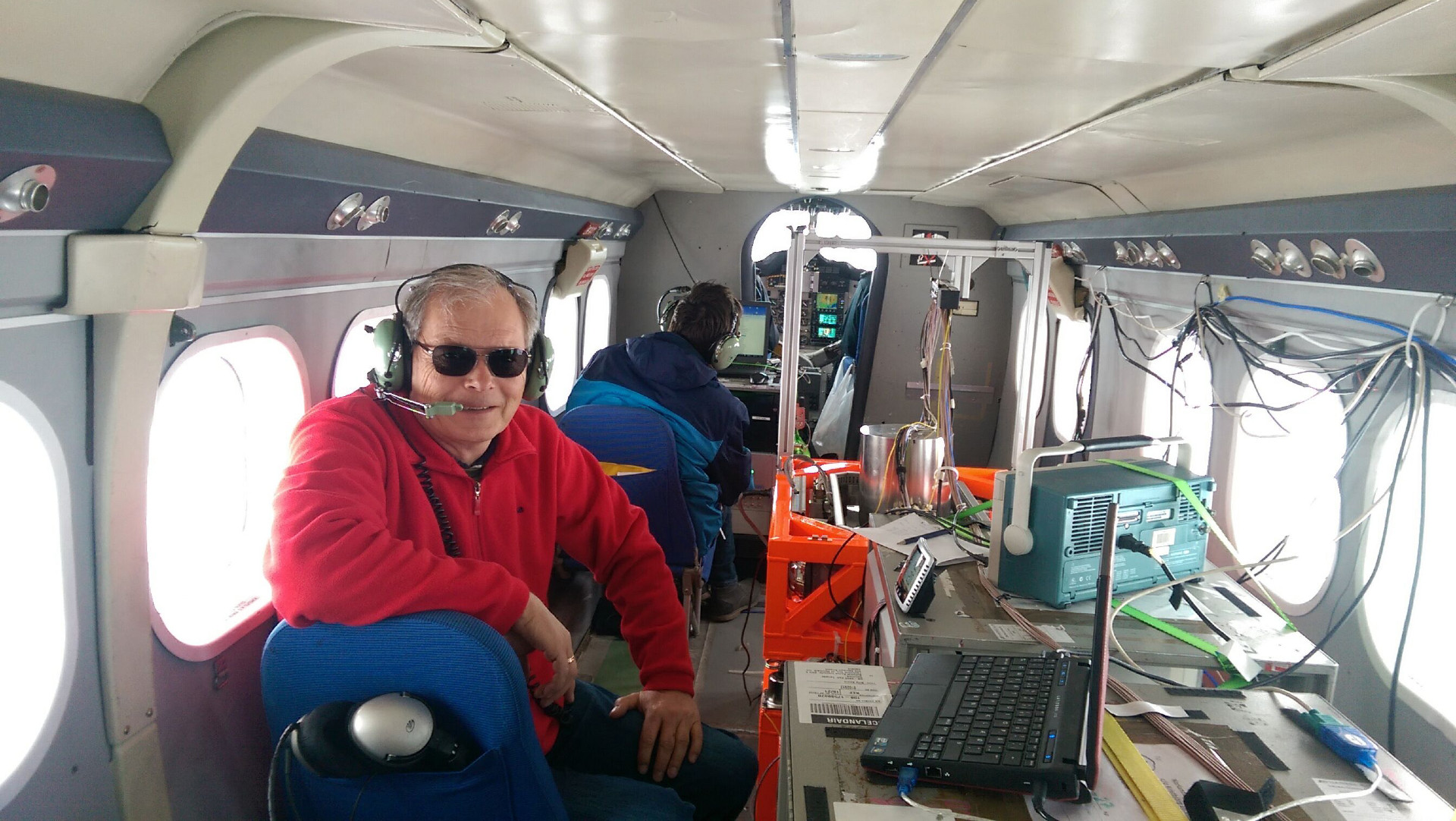
In June, a quantum sensor for measuring accelerations will be fixed to the cabin of a red Twin Otter propeller aircraft and fly in a zig-zag pattern over the Godthåbsfjord at Nuuk in Greenland. The sensor is being developed by the state-owned French company ONERA, and—with the test flights—DTU researchers will document how accurately the quantum sensor can determine the Earth’s gravitational field. The researchers will also test how to navigate more precisely with quantum-based navigation systems in the future if GPS satellite navigation gets jammed in a crisis situation.
“In popular terms, the quantum sensor is comparable to an accelerometer, which is found in many modern smartphones and which is used to determine the orientation and movements of the phone. In the quantum sensor, the accelerometer is located in a vacuum container where rubidium atoms have been cooled to close to absolute zero, i.e. -273 degrees. The movements of the atoms accurately reflect the Earth’s gravity and the aircraft’s accelerations and are registered using laser,” explains René Forsberg, Professor at DTU Space. The instrument development is still at an early stage, and the equipment weighs several hundred kilos with the accompanying electronics, lasers, and vacuum equipment.
Quantum warfare
The test flights with a quantum sensor will take place in the Green Quantum project, which is co-funded by the Danish Ministry of Defence Acquisition and Logistics Organisation (DALO), and the results will be used in a European initiative on quantum methods for future quantum warfare, which is being developed in the ADEQUADE (Advanced, Disruptive and Emerging QUAntum technologies for DEfence) project, funded by the European Defence Fund (EDF).
In ADEQUADE, 35 European partners are collaborating to reduce quantum sensor technology from the current colossal equipment, which takes up most of the aircraft, to a sensor-based chip technology the size of a coffee cup.
DTU Space and ONERA are both partners in ADEQUADE and flew a quantum accelerometer in tests in Iceland and the Bay of Biscay in a previous collaboration in 2017-2019. DTU was thus the first in the world to demonstrate the opportunities for using quantum sensors to measure variations in the Earth’s gravitational field from aircraft—the technical term for this is quantum gravimetry. Quantum gravimetry has important applications in climate change monitoring and geodynamic studies, for example in volcanic or earthquake zones.
Test flights in Greenland
In the test flights in Greenland, researchers and PhD students from DTU install the quantum sensor in a gyro-stabilized bed, which is constantly kept horizontal, thus ensuring, together with precise GPS measurements, that the quantum measurements are continuously corrected for the aircraft’s movements. At the same time, a commercial air navigation unit is flown, and, overall, it gives the researchers an overview of the aircraft’s position within a few centimetres of accuracy. This makes it possible to determine the gravitational field with very high accuracy (10-6 g) and generate data that will be used to improve Greenland GPS-based altitude measurements and to secure data for a better correction of quantum navigation, among other purposes.
“On selected stretches, we will disconnect all our normal navigation systems and fly using the quantum sensor only. This enables us to collect data for how precise quantum navigation is—in relation to both the gravitational map and the aircraft’s movements in the air,” explains René Forsberg. Improved gravity maps are completely essential background data for full utilization of quantum sensors for precise navigation.
Independent of GPS signals
In the current quantum sensor, a laser source only registers the upward and downward movements of the atoms, but if the sensor is equipped with several lasers, the aircraft can be controlled solely on the basis of the quantum sensor and thus become independent of information from jammable or spoofable GPS systems. Such jamming and spoofing occur frequently in connection with the Ukraine war, and we have also seen examples of GPS jamming in Denmark.
Quantum navigation, especially if it can get down to the size of a chip, could be used everywhere in the future, including in buildings, underground, and in submarines. Quantum accelerometers also enable more precise satellite measurements of climate change such as ice melting, global sea level rises, and floodings by measuring changes in the gravitational field, and DTU is therefore also participating in a parallel EU project, CARIOQA, to prepare technology for a future European quantum satellite mission.
